A step in the right direction: Map data will help pedestrians better navigate Phoenix streets

ASU's YouthMappers chapter partnered with Meta and OpenStreetMap to chart more than 1,200 miles of Phoenix and Tempe to create a detailed pedestrian map that provides open-source data about the cities' sidewalks and crosswalks — including those areas that lack them. Photo by Charlie Leight/ASU News
In a car-dominated city like Phoenix, it can be easy to forget that there are pedestrians that rely on sidewalks to get around — including people with disabilities, parents pushing strollers, kids who are walking home from school and more.
That is, assuming the sidewalks are in good condition — or even exist in the first place.
Over the last three semesters, Arizona State University’s YouthMappers group has logged hundreds of hours inputting pedestrian features that — like roadmaps — make it easier for people to find their way.
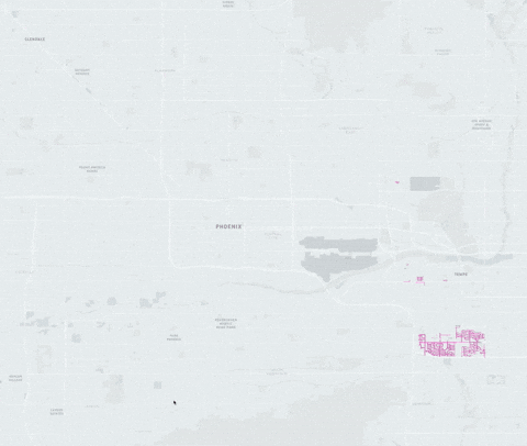
The ASU chapter partnered with Meta and OpenStreetMap (a free, collaborative map of the world that anyone can edit) to chart more than 1,200 miles and 10,000 crosswalks.
The project provided high quality, open-source data about sidewalks and crosswalks in Phoenix and Tempe that people can access via OpenStreetMap.
"The importance of detailed pedestrian mapping cannot be overstated, as it directly impacts urban planning, safety and accessibility," said Chad Blevins, a geospatial business consultant and co-founder of YouthMappers.
And yet it is uncommon.
"Very few cities have such a detailed and comprehensive dataset like what Phoenix now has," said Patricia Solis, co-founder of the global YouthMappers program and chapter advisor of ASU's club. "And we have it thanks to the work of citizen scientist volunteers, many of them ASU students — the YouthMappers.”
"It is rare for a city to have an updated pedestrian database largely due to the time it takes to map and the challenge of keeping data up to date given the constant investments cities make with improving pedestrian infrastructure," Blevins said.
The YouthMappers efforts are part of a growing trend though. In 2024, OpenStreetMap had a record increase in pedestrian mapping, with contributors from various groups adding more than 6,000 miles of footways and 62,153 individual crossings in the top 10 U.S. cities.

Purposes of pedestrian street maps
Natalia Arruda is a PhD candidate in the School of Geographical Sciences and Urban Planning and a member of the leadership board for the local YouthMappers chapter. The process of creating the maps can be painstakingly tedious but Arruda said the pedestrian data will be beneficial in multiple ways.
The maps can help:
- With accessibility: People who don’t drive and need to know how accessible a neighborhood or the city is can now find clear pathways from point A to point B. Knowledge of crosswalks is of particular importance because they ensure greater safety for pedestrians.
- Provide drivers with information: Drivers can see where sidewalks are located, which helps them become more aware of pedestrian areas.
- Tourists: Visitors can use the maps to explore the city on foot and find safe and convenient walking routes.
The data can also be used for analysis or can be integrated into other applications, such as walking mode in digital maps, GPS navigation or tools that support accessibility planning.
And knowing where sidewalks aren't is just as important as knowing where they are.
"We see some places like this in Tempe and in Phoenix, where there is no sidewalk around, and the people use the road," Arruda said. "Maybe where there are residential roads, and they are calm, you can do it. But it is important that you can see this information on the map, so you can plan. If you need, you can plan your roads based on that."
More Science and technology

ASU named one of the world’s top universities for interdisciplinary science
Arizona State University has an ambitious goal: to become the world’s leading global center for interdisciplinary research, discovery and development by 2030.This week, the university moved…

ASU and Thailand advance semiconductor collaboration through workforce development initiatives
As Thailand accelerates efforts to strengthen its semiconductor ecosystem, Arizona State University and Thai partners are expanding collaboration to support the country’s innovation and workforce…

ASU, Dreamscape Learn bring immersive VR biology classrooms to Phoenix school district
Camilo Cruz adjusted the strap on his virtual reality headset, grabbed the black joystick in front of him and, with a point of his index finger, punched in the four-digit code.Immediately, he was…