Before the League of Nations and the United Nations, it’s a little-known fact that advanced scientific cooperation on a global scale had already commenced.
The issue that brought nations together: weather.
This year, the World Meteorological Organization turns 150.
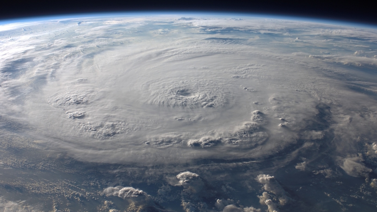
More than a century ago, 50 meteorologists met at a scientific weather meeting in Leipzig, Poland, laying the groundwork of what would become a global body of scientists made up of 193 countries and territories that provide data on our changing climate and its impacts to people around the globe. The organization names hurricanes, tracks extreme weather and works to improve communication of weather dangers.
ASU News spoke to Randy Cerveny, the keeper of the world’s records of weather for the World Meteorological Organization (WMO) for nearly two decades and a President’s Professor in ASU’s School of Geographical Sciences and Urban Planning, to talk about the history of the WMO, his involvement with the agency and how weather has changed in the last 150 years.
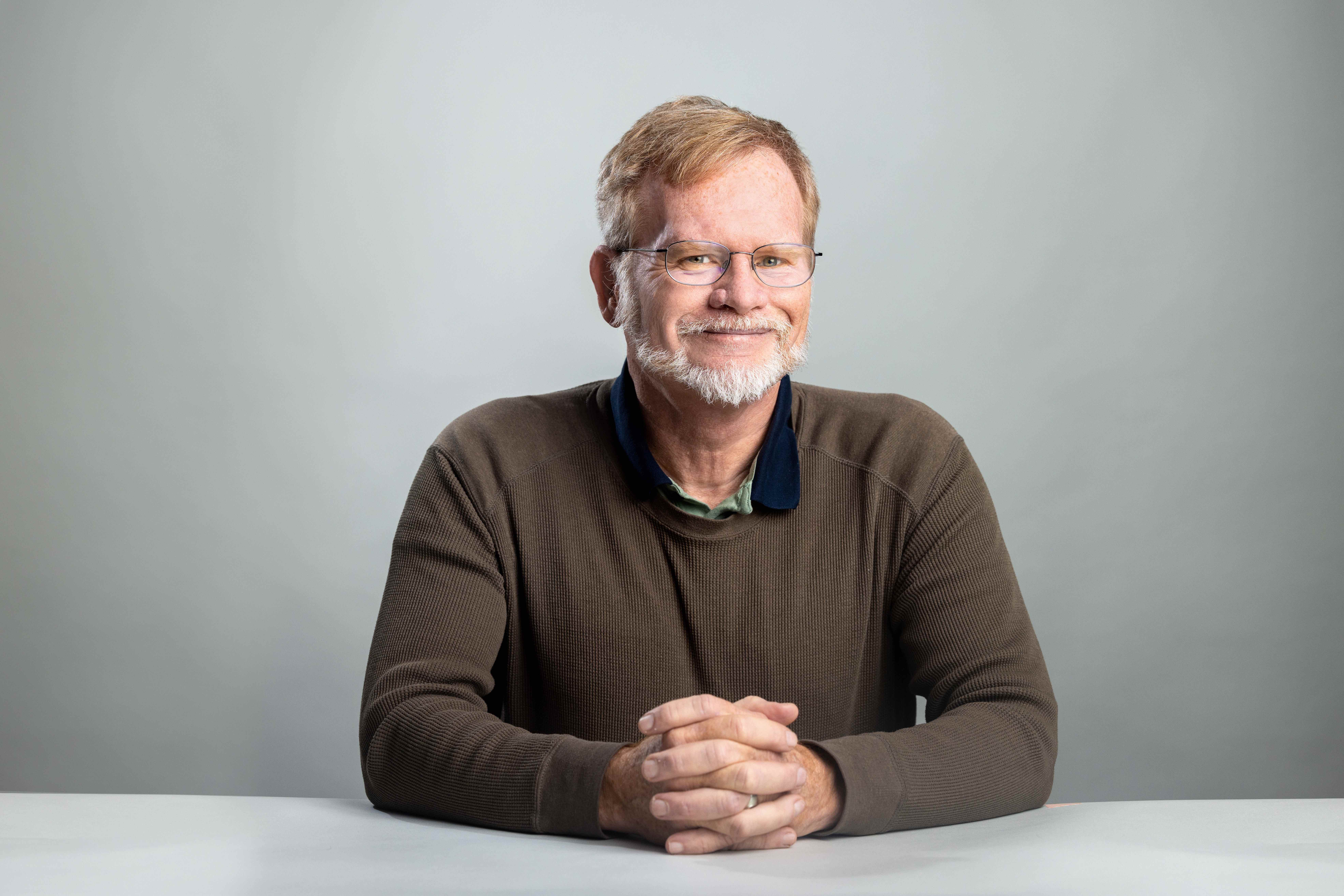
Photo of Randy Cerveny by Deanna Dent/Arizona State University
Question: How did the World Meteorological organization originate?
Answer: We tend to think of the United Nations and the League of Nations as the first big chance for nations to come together. But all the way back, nearly 50 years before, in 1873, nations got together and they realized that meteorology was important on a global scale.
It wasn't called the World Meteorological Organization back then, it was called the International Meteorological Organization. It's gone through some changes since. But, what I found intriguing is that it's kind of the first attempt at true international cooperation.
Q: Why is it important to have a standardized way to record and measure weather?
A: Having measurements that are made the same way, in exactly the right fashion, can put a lot more faith in using that information for things involving climate change.
To me, it was surprising that early in the 1870s they decided that yes, they needed to do it. But that was also when (countries) were into shipping and sea travel across the world. A captain of a sailing vessel needed to know what kind of weather was going to be at the next port compared to what he had left. Having the right set of information made that all a whole lot easier.
Q: Back 150 years ago, what was the process of stardizing weather measurements like? Did it take a long time?
A: Yes, and even today, we're still debating on how to do certain things. For example, when we're measuring temperature, it has to be measured at a height of roughly 1.5 meters off the ground.
That means when places use satellite measurements and record temperatures that are much hotter than what we've measured, like in the Sahara, we don't accept those as being records because they're not made at that official height. The difference of the temperature you measure on the ground is going to be different from what it is 5 feet up. Even today, we're still having to address those kinds of issues. But by having a set of standards, it keeps the playing field level across the entire world.
Q: What does the WMO do today?
A: The thing that most people would recognize is that the WMO names hurricanes. If I say that hurricane 17B is coming towards you, you're probably not going to take as much action as if I said Hurricane Katrina is coming towards you. So we came up with this idea of having standardized lists of names for storms around the world.
Another thing that the WMO does is that they, together with another branch of the United Nations, are in charge of the Intergovernmental Panel on Climate Change (IPCC). The IPCC puts out periodical reports on the state of our climate.
One of the really important things that they're doing now is trying to improve weather forecasting and (distribution of) weather information across the entire globe. The WMO is working in Africa to improve communication so that storms and natural disasters can be mitigated or even prevented by getting word out to people ahead of time.
And one of the things that I particularly am involved with is measuring (weather) extremes.
Q: Tell us more about measuring world records of weather for the WMO. How did you get involved?
A: I got into it by accident. I had been watching the (news) coverage in 2005 about Hurricane Katrina and a commentator on TV said that Hurricane Katrina was the worst hurricane of all time. Katrina was bad, over 2,000 people died, but no way was it the worst hurricane of all time. It pales in comparison to a tropical cyclone that hit what is now called Bangladesh, where 300,000 people died.
I wondered if there's anybody that could tell them the right answers. There are groups like the Guinness Book of World Records, but they're not official. So I said, "Maybe we should have something official." I presented the idea to the WMO back in 2006, and we started the archive project in 2007. We've come up with an official list of verified world extremes. I'm continuing to serve in that role.
Q: Can you give us some examples?
A: Things like the hottest temperature ever recorded (134 degrees Fahrenheit, Death Valley, California) to the fastest wind gust (253 mph, Barrow Island, Australia) to the highest mortality from a single tornado (estimated 1,300 individuals, Bangladesh). We've come up with that list, and it's a list that has been verified by meteorologists. And whenever we get a new record, we examine that record and make a determination if it is actually valid or not.
Right now, we started a new investigation. Down in the southern hemisphere, there has been a tropical cyclone named Freddy that was born on Feb. 3. It was born off the north coast of Australia. Over the last month, it has been slowly working its way across the Indian Ocean. The old record for the longest lasting tropical cyclone was a storm that moved across the Pacific Ocean called John that lasted for 31 days. Freddy has already lasted 32 days. We are currently getting a team of scientists together to investigate.
Q: Going back to the anniversary, how has the world's weather changed in 150 years?
A: The technology has gotten a lot better; we've been monitoring the weather as precisely as we possibly can. And, yes, the weather has also changed. For example, with temperatures, the last cold temperature record that we have verified dates back to the early 1990s. The last warmest world record temperature that we're currently evaluating is a record that occurred in Death Valley just a year ago where it got up to more than 130 degrees Fahrenheit. We're seeing a lot more record high temperatures than we are record low temperatures. It’s one of the easiest ways to say, “Yeah, the climate is changing.”
Q: Is there anything that you're hopeful for in the future, for weather monitoring or extreme records for the WMO?
A: We're always learning new stuff about science simply by monitoring (weather) extremes. To me, having a chance to work with brilliant people on a committee — I mix some of the old masters together with some of the new geniuses — and seeing that interchange take place in the discussions that I can get between those people, has been one of the greatest pluses of this whole thing for me.
I am hoping, because I'm starting to get old, that there will be people that will continue this process going on. I would love to have this project still be going on decades into the future here. That, to me, would be a good indication that we came up with something that's a good idea.
Top image courtesy Pixabay
More Environment and sustainability

From environmental storytelling to hydroponics, student cohort crafts solutions for a better future
A select group of students from Arizona State University's College of Global Futures, a unit within the Julie Ann Wrigley Global Futures Laboratory, is laying the foundation to drive change…

2 ASU faculty elected as AAAS Fellows
Two outstanding Arizona State University faculty spanning the physical sciences, psychological sciences and science policy have been named Fellows of the American Association for the Advancement of…

Homes for songbirds: Protecting Lucy’s warblers in the urban desert
Each spring, tiny Lucy’s warblers, with their soft gray plumage and rusty crown, return to the Arizona desert, flitting through the mesquite branches in search of safe places to nest.But as urban…