In 1880, the Grand Canyon was a mystery.
Oh, people might have read John Wesley Powell’s 1875 book, ultimately titled “The Exploration of the Colorado River and Its Canyons,” but the book wasn’t so much a deep dive into the size, beauty and geology of the Grand Canyon as much as it was a tale of the Wild West.
“It was meant to be a geological treatise, but it was actually written more as an adventure novel because he needed to sell it and get more appropriations from Congress,” said Matthew Toro, director of maps, imagery and geospatial services at the ASU Library.
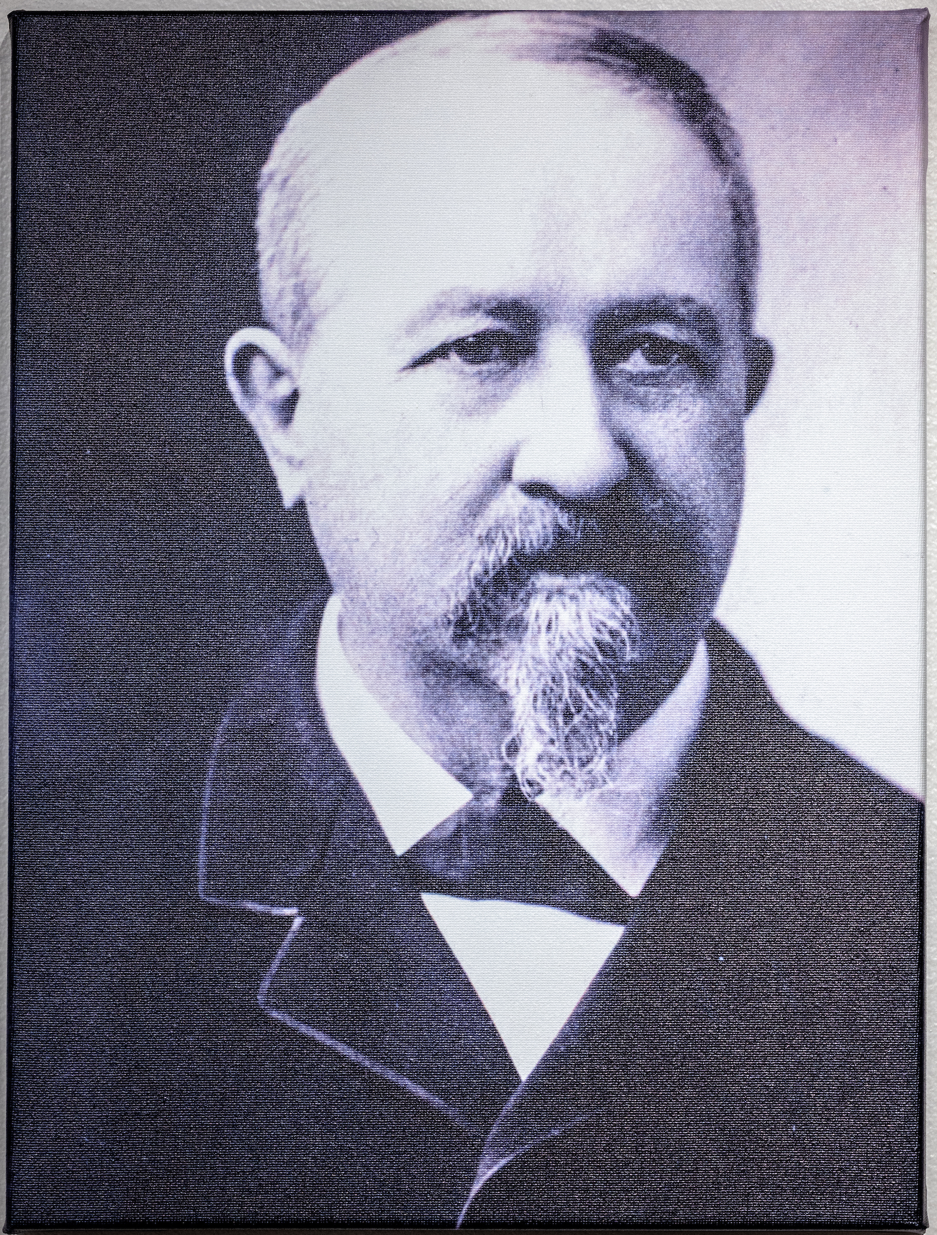
A portrait of Clarence Dutton is on display as part of the ASU Library's "Dutton’s Atlas" exhibit. Photo by Charlie Leight/ASU News
It was Dutton, Powell’s protege, who forever changed the perception of the Grand Canyon. In 1882, Dutton published the “Tertiary History of the Grand Canyon District with Atlas,” a geological “masterpiece,” Toro said, that used literary prose, science, landscape illustrations from Thomas Moran and Williams Henry Holmes, and a collection of topographic and geologic maps to transform the perception of the Grand Canyon.
“It’s really the first comprehensive work of Grand Canyon geology,” Toro added.
To celebrate the 140th anniversary of Dutton’s work, the ASU Library, along with support from Arizona State University's Institute for Humanities Research, the School of Geographical Sciences and Urban Planning, the School of Earth and Space Exploration, and a grant from Arizona Humanities, has created an interactive exhibit titled “Dutton’s Atlas: How Cartography Helped the Canyon Become Grand.”
The exhibit, which includes digitized versions of Dutton’s six maps and complementary physical items from the canyon, will be available for public viewing beginning Oct. 22, on the first floor of the Hayden Library on ASU's Tempe campus.
A symposium featuring several speakers on topics such as geology and photography of the canyon will be held at the exhibit kickoff that Saturday, from 11 a.m. to 4 p.m., and the physical exhibit will be open at least through the end of this semester and possibly into the spring semester, Toro said.
The digital replica of the exhibit is available here.
The exhibit was designed by Amy Watson, who leads the design team for the ASU Library, and included work by Toro, the project’s director, Stephen Pyne, professor emeritus at the School of Life Sciences, Steven Semken, professor at the School of Earth and Space Exploration, and Julie Tanaka, formerly the curator for rare books and manuscripts of the ASU Library.
Several students also worked on the project, most notably Paityn Schlosser, a senior geology major who admitted she really had no idea what she was getting into when she saw the 20-hours a week job pop up on an email chain.
“I didn’t think I had any chance,” Schlosser said. “I applied and Matt emailed me on a Friday and said, ‘Can you come in at 4 p.m. for an interview?’
“I was like, ‘Screw it. What do I have to do lose?’ And then (at the interview), he said, ‘Do you know anything about Clarence Dutton?’ I said, ‘No.’”
She does now.
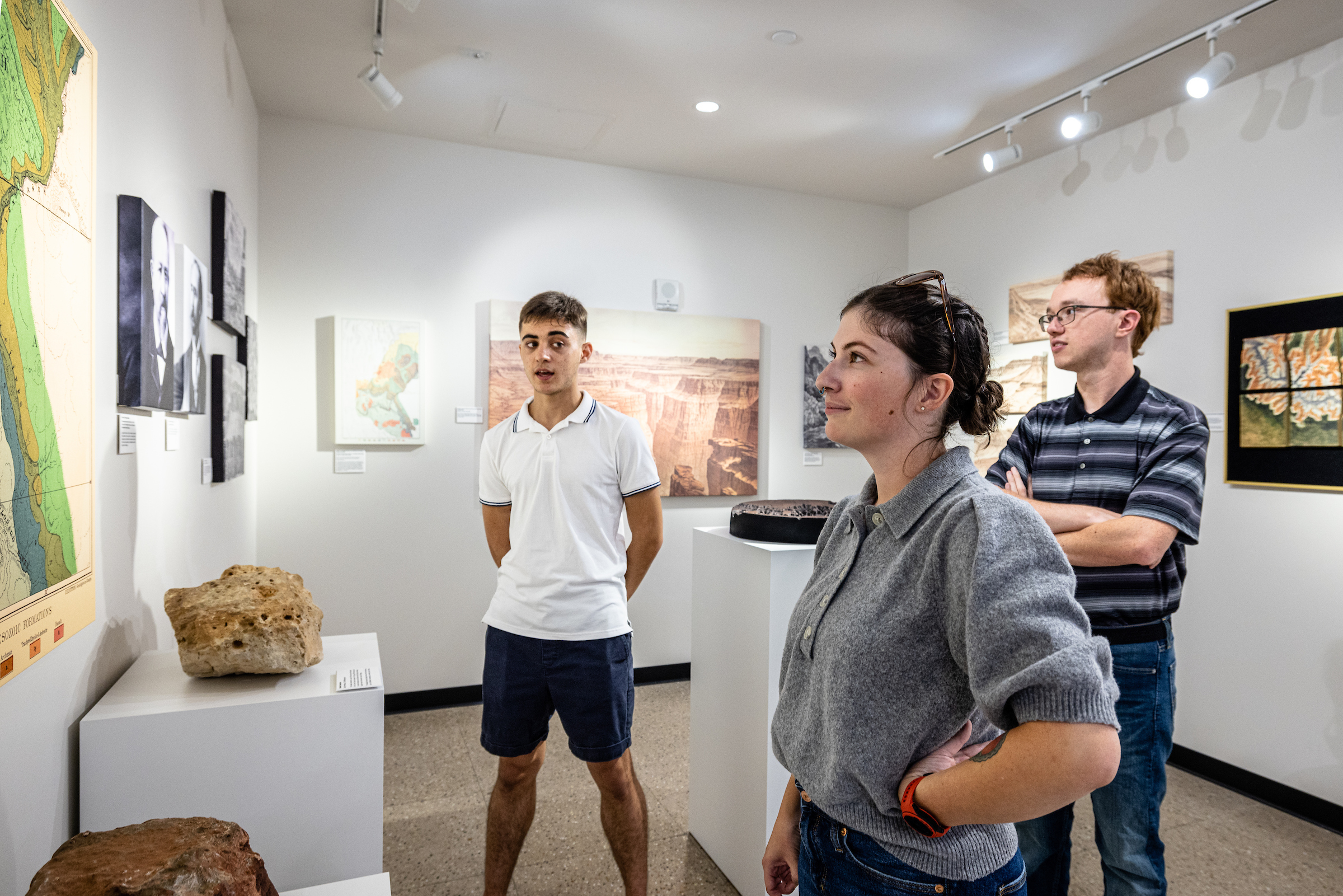
Map and Geospatial Hub student workers Giovanni Catanzaro (left) and Paityn Schlosser and staff member Eric Friesenhahn (right) discuss aspects of the "Dutton Atlas" exhibit on Tuesday, Oct. 18, in the lobby of the Hayden Library on ASU's Tempe campus. Photo by Charlie Leight/ASU News
The exhibit will highlight Dutton’s work in a variety of ways, including the prose he used to describe the canyon. In one writing, he begins, “The Grand Canyon of the Colorado is a great innovation in modern ideas of scenery and in our conceptions of the beauty and power of nature.”
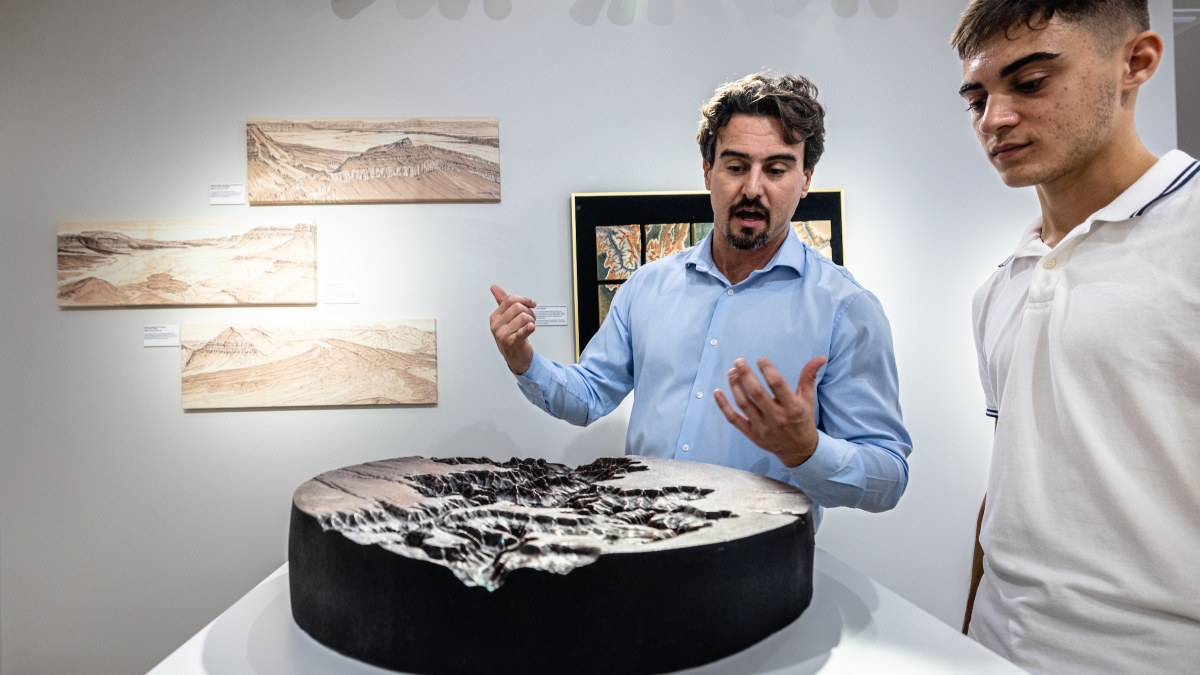
Viewers of the exhibit will also see the three illustrations from Holmes’ Panorama from Point Sublime, a 3D-printed and hand-painted map puzzle, and three rocks from the Grand Canyon collected by Semken, and have the opportunity to use an interactive online multimedia exhibit that curates the atlas with maps, images and video.
“You can literally come and touch and feel the rocks. You can see what the state of geographical knowledge was back in the late 19th century,” Toro said. “The most important part, really, is that we’ve digitized all of the actual maps from Dutton’s Atlas and put them into real-world geographical coordinates. So the user will have the option to overlay these maps with modern geological data on a touch screen. They can really see the way the state of geological knowledge has evolved over the last 140 years.”
Schlosser said she hopes that when people see the exhibit, “they get the enjoyment of geology and they understand the importance of understanding what’s beneath us.”
“A lot of people commonly associate geology with just a blow-off science,” Schlosser added. “This is one of the most informational-based sciences that you could ever do. I hope it piques some people’s interest and hopefully more people will go to the Grand Canyon and get to see what it’s all about.”
Map and Geospatial Hub Director Matthew Toro (left) talks with student worker Giovanni Catanzaro, a second-year geography student, at the "Dutton Atlas" exhibit on Tuesday, Oct. 18, in the lobby of Hayden Library on ASU's Tempe campus. Photo by Charlie Leight/ASU News
More Environment and sustainability

'Earth Day Amplified' promotes power of collective action
Everybody loves the concept of sustainability. They want to do their part, and the chance to say they’ve contributed to the well-being our of planet.But what does that actually mean?Arizona State…

Rethinking Water West conference explores sustainable solutions
How do you secure a future with clean, affordable water for fast-growing populations in places that are contending with unending drought, rising heat and a lot of outdated water supply infrastructure…
Meet the young students who designed an ocean-cleaning robot
A classroom in the middle of the Sonoran Desert might be the last place you’d expect to find ocean research — but that’s exactly what’s happening at Harvest Preparatory Academy in Yuma, Arizona.…


