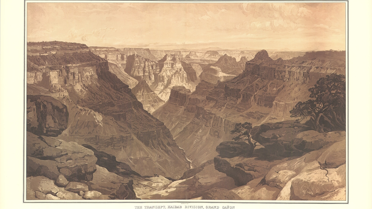
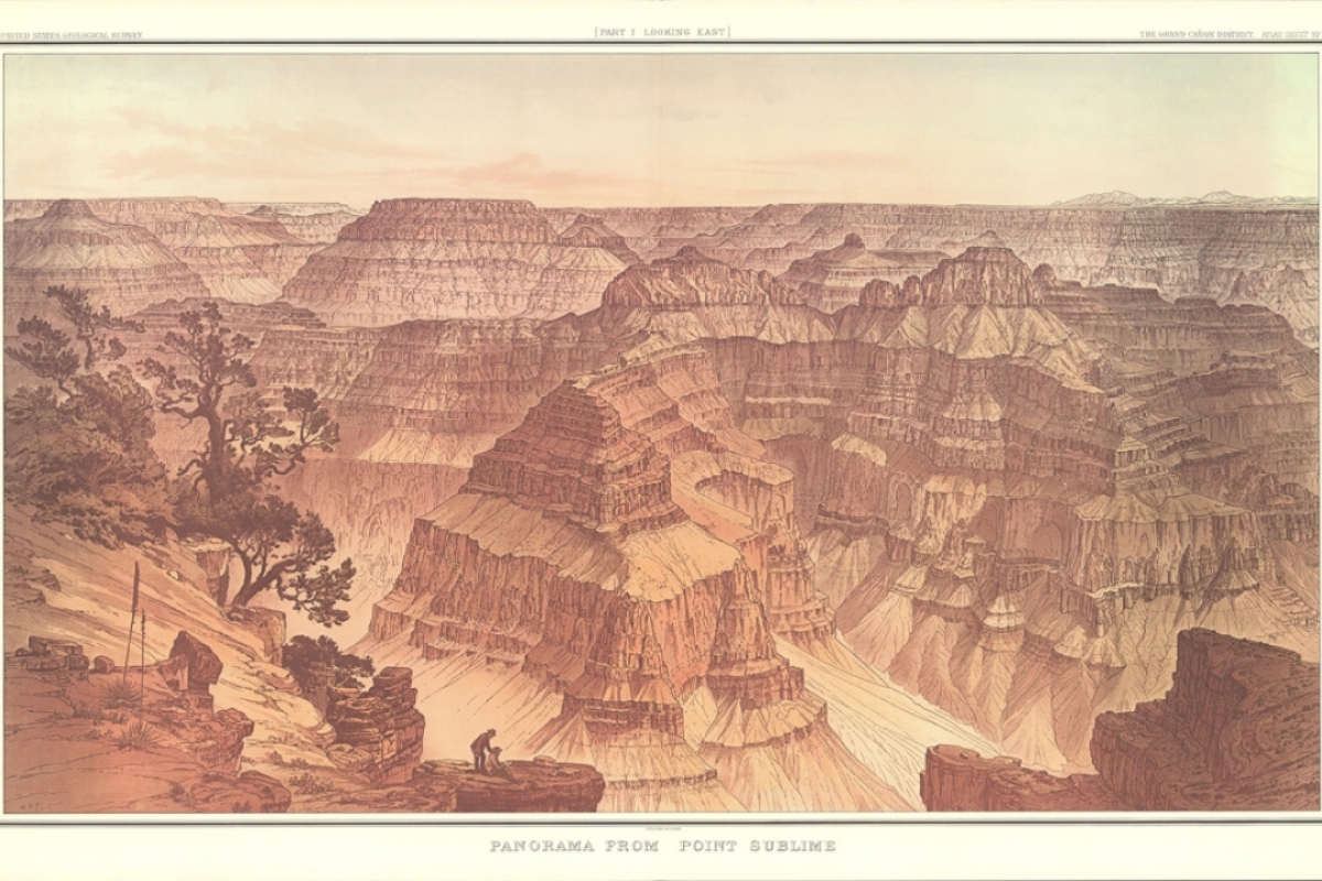
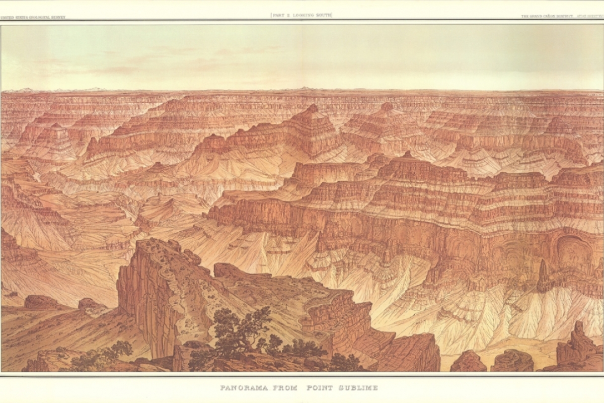
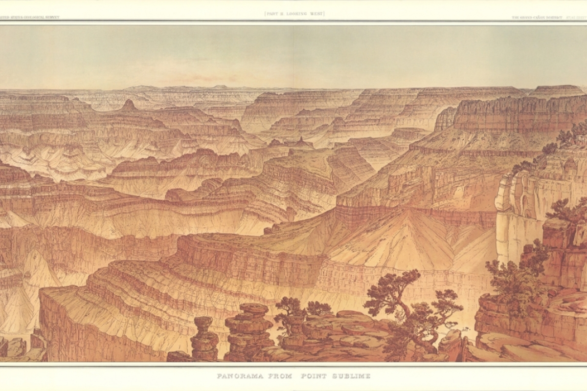
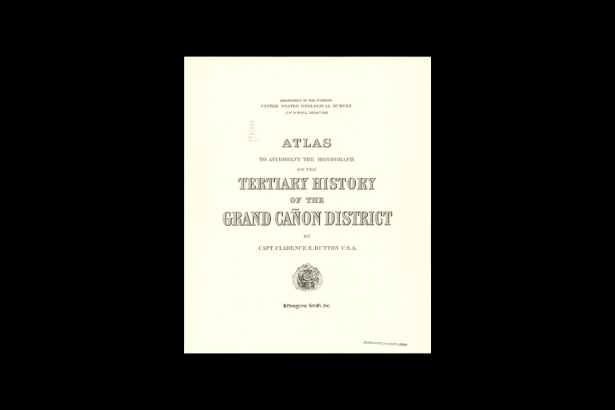
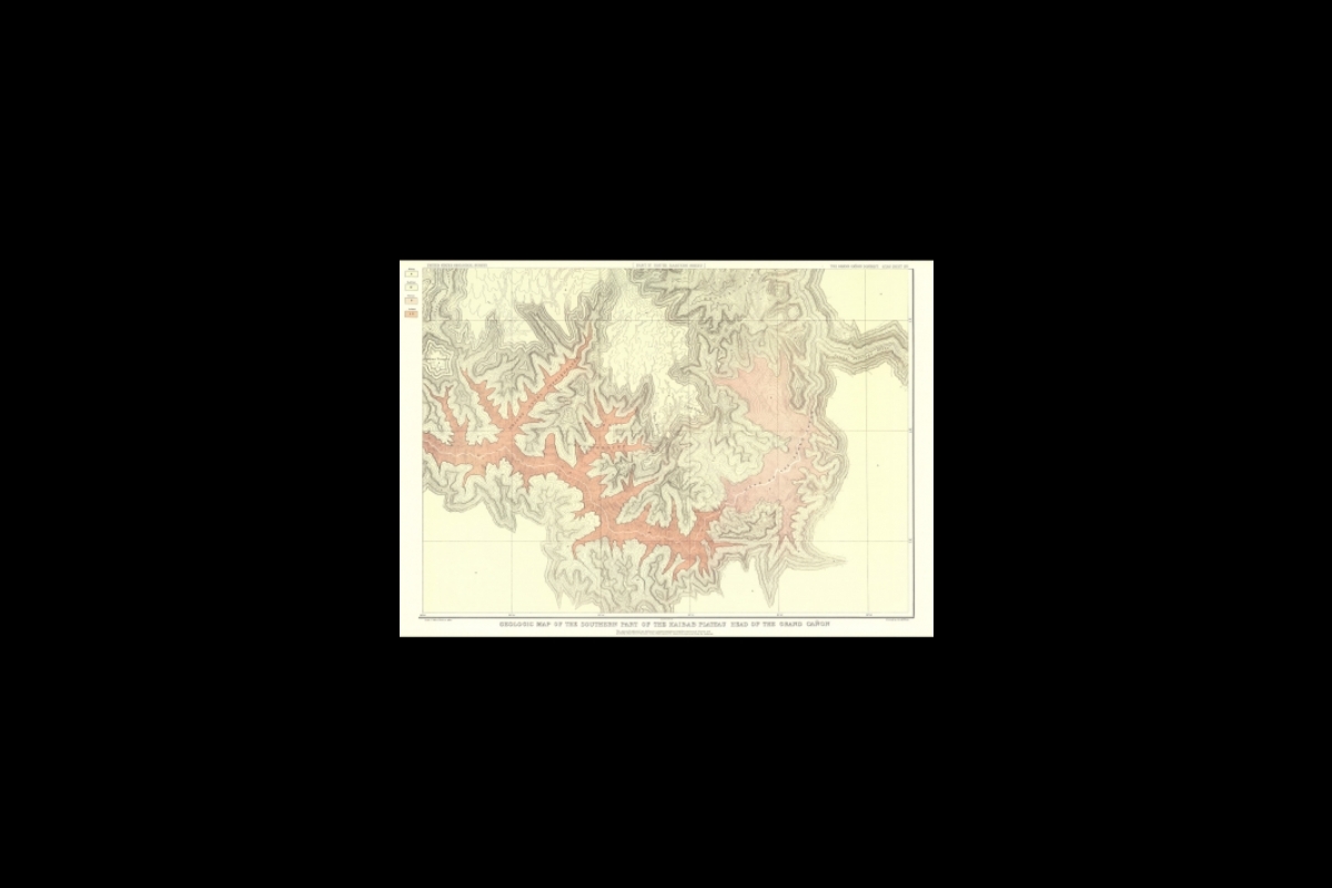
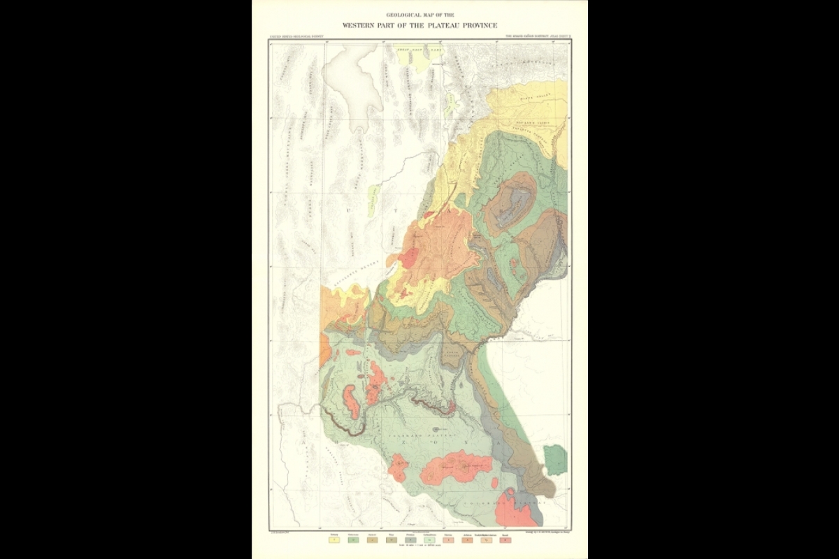
Published in 1882, “Tertiary History of the Grand Cañon District with Atlas” was the first monograph produced by the United States Geological Survey.
Written by the “poet of the Grand Canyon,” Clarence Dutton, the work intersected literature, art and cartography. It changed the way the Grand Canyon was viewed and respected, as an iconic geological masterpiece.
“For more than three centuries prior to the publication of Dutton’s geological analysis of the Grand Canyon, Europeans had visited the region on more than a few occasions. They dismissed it as valueless each time,” said Matthew Toro, director of maps, imagery and geospatial services at the ASU Library.
“As late as 1861, one observer infamously wrote that the Grand Canyon was a ‘profitless locality.’ Dutton and his associates, on the other hand, seamlessly combined geological science, literary prose on landscape aesthetics, a collection of topographic and geologic maps, and some of the most iconic illustrations and panoramic landscape views of the Grand Canyon ever created,” Toro said.
“Dutton’s works offered a new way to envision and interpret the canyon. They helped transform our consciousness of the Grand Canyon region into the landscape icon we now know it to be.”
Now, almost 140 years later, a team of Arizona State University humanities scholars seeks to give new life to Dutton’s work.
Stephen Pyne, professor emeritus at the School of Life Sciences; Steven Semken, professor at the School of Earth and Space Exploration; Julie Tanaka, curator for rare books and manuscripts at the ASU Library; and Toro, the project’s director, together form the core team for “Dutton’s Atlas: How Cartography Helped the Canyon Become Grand.”
The project will include four main components:
A digital atlas counterpart to the rare physical atlas.
An interactive online multimedia exhibit that curates the atlas with maps, images and video.
A complementary physical exhibit.
A symposium event offering insightful presentations on the various historical-geographical and socio-cultural dimensions of the atlas.
The project’s title is directly inspired by the 1999 book “How the Canyon Became Grand,” by project co-investigator Pyne. The book considers historical, environmental, intellectual and cultural perspectives of the Grand Canyon, paralleling the interdisciplinary analysis that the project hopes to achieve.
“We intend to deepen the public’s sense of space, time and place, specifically their own interpretations of the Grand Canyon region,” Toro said.
“Dutton’s Atlas” is supported by the ASU Library, the ASU Institute for Humanities Research, the ASU School of Geographical Sciences and Urban Planning, the ASU School of Earth and Space Exploration and, most recently, a 2022 project grant award from Arizona Humanities.
“Over the term of the 2022 project period, we will leverage the Arizona Humanities award to execute the multifaceted project and deliver a rich combination of scholarly research, digital storytelling and event programming to Arizonans and the broader public,” Toro said.
Engaging humanities scholars and Native representatives, the project will highlight the role of cartography in fostering new perspectives and insights about the Grand Canyon.
Together, the digital atlas, digital and in-person exhibits and symposium will help audiences appreciate Dutton’s historic contributions and discover their own relationships and connections with the canyon.
Top image: "The Transept, Kaibab Division, Grand Cañon: An Amphitheater of the Second Order," from Clarence Dutton's “Tertiary History of the Grand Cañon District with Atlas.” Scanned from the 1977 republication of the original 1882 material. Photo courtesy of ASU Library Map and Geospatial Hub
More Science and technology

ASU-led space telescope is ready to fly
The Star Planet Activity Research CubeSat, or SPARCS, a small space telescope that will monitor the flares and sunspot activity of low-mass stars, has now passed its pre-shipment review by NASA.…

ASU at the heart of the state's revitalized microelectronics industry
A stronger local economy, more reliable technology, and a future where our computers and devices do the impossible: that’s the transformation ASU is driving through its microelectronics research…

Breakthrough copper alloy achieves unprecedented high-temperature performance
A team of researchers from Arizona State University, the U.S. Army Research Laboratory, Lehigh University and Louisiana State University has developed a groundbreaking high-temperature copper alloy…


