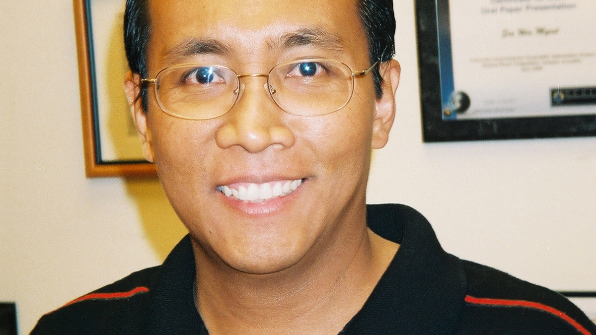
Professor sets high goals in supporting urban and crop sustainability

As a key player in sustainability science, professor Soe Myint uses his background in geospatial statistics and modeling to help policymakers and land users manage resources sustainably. This year alone, Myint was awarded three grants by the National Aeronautic and Space Administration (NASA), the National Science Foundation (NSF), and the National Oceanic and Atmospheric Administration (NOAA) – a notable accomplishment.
In Myint’s research, there is a common theme of combining sciences and humanities to develop creative approaches to understanding human land use and urban growth. All three of the projects focus on using satellite imagery to assist in better management of climate change impacts.
Even though all the projects use satellite imagery, each one has different outcomes.
Understanding how cities alter the environment
The first, funded by NASA, uses satellite imagery to track how vegetation and land use changes as urban populations change, and how that affects local and regional climate. Key study sites include Las Vegas, Israel, India, Egypt and China.
The project explores alternate management opportunities and land-use planning scenarios for sustainable city development. Findings will help city planners, leaders and communities to better understand the complex relationships between population growth, plant cover and land-use change that have impact on urban temperatures and regional climate variations.
ASU recognizes the world is rapidly becoming urbanized, a challenge to which the university seeks to adapt. For this project, ASU partnered with Yale University, the University of North Carolina, the East West Center in Hawaii, and the Ben-Gurion University in Israel.
Identifying drought-tolerant crop species
The second project, funded by NOAA, focuses on how drought affects agricultural uses of land and water in Phoenix. Using satellite imagery, Myint and his colleagues identify crop types and estimate each crop’s water needs. The researchers will analyze these water needs in two wet years and two drought years.
The project aims to estimate the economic impacts of drought at both farm and the watershed levels and to assess benefits of alternative adaptation strategies under different drought scenarios.
Through a partnership with ASU, New Mexico Tech University, the U.S. Geological Survey, the Agri-Business Council of Arizona, the Arizona Department of Water Resources, and the Sonoran Institute’s Western Lands and Communities Initiative, Myint hopes to provide an accurate image of specific crops that are vulnerable to drought so that farmers can adjust their management strategies accordingly.
In ASU’s quest to become a leader in developing solutions to real-world challenges, this research can increase the understanding of the human-climate interface.
Advancing the method
While Myint’s current research uses satellite imagery to achieve other goals, he didn’t forget about the actual method itself. In the NSF-funded proposal, Myint is the single investigator developing a more efficient classification system for land modeling and categorization in satellite images. He expects the research will help geographers and land managers understand complex spatial arrangements in both natural and man-made systems. This new method will have broad contributions across the geographic sciences and will help researchers conduct better science.
“Researchers at ASU are developing new materials in an effort to solve society's most pressing problems in energy, health, public safety, sustainability and other areas,” says Myint. “This project will help build ASU’s strategic area that seeks to identify the cause of today’s environmental challenges in land use and create solutions that will allow us to preserve our natural resources for the near and distant future.”
The research Myint and his colleagues are conducting will allow him to get a head start on one of his goals: balancing his research and teaching duties.
“I want to be able to provide indispensable services to the community while producing quality manuscripts in leading scientific journals and performing effective teaching,” he says. “This is the goal I have set for myself.”
The awards are great examples of what collaboration and creativity can do for the field of science. Myint doesn’t want his work to be useful in just one area; he wants to contribute to many disciplines.
“One of my goals is to have my research and expertise integrated into many other research areas that support interdisciplinary, multidisciplinary and transdisciplinary collaboration at ASU,” says Myint.
“I hope to become a role model in the geospatial and remote sensing community,” he says. “I hope to be a scholar who not only performs cutting-edge research and transfers his knowledge to students in an effective fashion, but who also provides practical services in any capacity to the community.”
Myint is a senior sustainability scientist in Arizona State University’s Global Institute of Sustainability and is an associate professor in the School of Geographical Sciences and Urban Planning in ASU's College of Liberal Arts and Sciences. He is also an affiliate for the GeoDa Center for Geospatial Analysis and Computation, ASU’s own geographical data portal where faculty can develop research methods and disseminate their results into the community. Myint is an expert in land use, land cover, and land change mapping, geospatial techniques, urban environmental modeling, and geographic information science.

