Summer research: Geology students, faculty take to the field
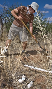
This summer, students and faculty from the School of Earth and Space Exploration left the lab behind to conduct some hands-on research in the field.
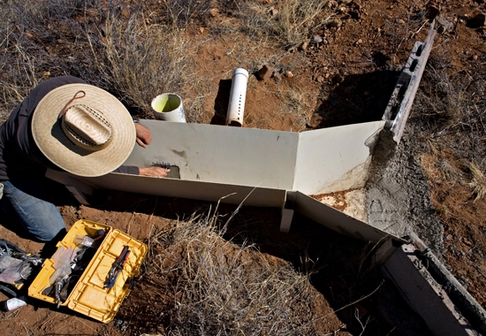
Agustin Robles-Morua, a post-doctoral research associate in the School of Earth and Space Exploration, installs a pressure transducer that will be used to measure water depth in the supercritical flume, from which flow rate in the ephemeral channel can be obtained. He and other students installed the flume as part of an ecohydrology instrumentation project, taking place at the University of Arizona’s Santa Rita Experimental Range, south of Tucson, Ariz. The savanna rangeland is studied to understand how vegetation changes impact runoff from small upland watersheds.
Professor Enrique Vivoni, from the School of Earth and Space Exploration and the School of Sustainable Engineering and the Built Environment, digs a hole to bury an array of soil sensors. His research team is gathering field observations to test and improve computer models that simulate how summer rainfall is transformed in the ecosystem into evaporation from soils, transpiration from plants, channel runoff and groundwater recharge. The work is in collaboration with the University of Arizona's School of Natural Resources and the Environment and the USDA-ARS Southwest Watershed Research Center.
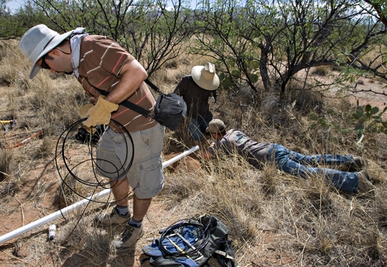
Professor Enrique Vivoni sorts out soil moisture cables as graduate student Ryan Templeton, from the School of Sustainable Engineering and the Built Environment, and Agustin Robles-Morua bury a sensor array nearby. The three sensors are placed at different depths to provide information on soil moisture and temperature that help to track how water infiltrates into the soil and is later consumed by plants. Mesquite trees in the background have deep root systems that make them very effective consumers of soil moisture, in particular during the summer monsoon season.
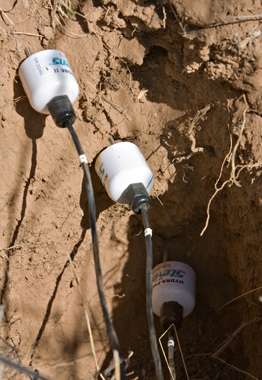
The research team installed twenty soil sampling arrays (close up view shown here) at the Santa Rita watershed site in an attempt to measure the spatial distribution of soil conditions. After burial, the sensors operate continuously with the data stored onto a series of dataloggers. Sensors are placed at 5 cm, 15 cm and 30 cm depths since most of the soil water dynamics occur near the surface.
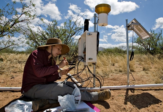
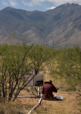
With the Santa Rita Range in the background, Nolie Pierini, a masters of science student in the School of Sustainable Engineering and the Built Environment, hooks up a set of soil moisture sensors to one of the dataloggers. PVC piping is used to protect the sensor cables from inadvertent trampling by livestock or other desert animals. As depicted here, the study site is an upland watershed with a savanna ecosystem consisting of desert grasslands and mesquite trees.
Graduate student Nolie Pierini is setting up one of the dataloggers that store data from the soil sensors, the pressure transducer and a rain gauge shown next to the data logger. Solar power is used to run the entire system. The environmental sensor network records data that is sent back to ASU, where professor Enrique Vivoni and his team conduct data analysis and computer modeling of the upland watershed. This effort will form the basis for Pierini's thesis and future work by other students. The research effort is sponsored by the Terrestrial Sciences program of the U.S. Army Research Office.
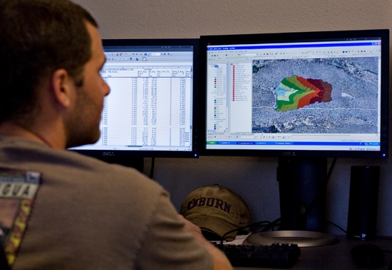
Graduate student Ryan Templeton displays a digital terrain model and aerial photograph of an experimental watershed obtained from an unmanned aerial vehicle (UAV) platform. Together with the environmental sensor network, computer representations of the study site terrain and plant distributions are used as inputs to a watershed model. The computer model, known as the TIN-based Real-time Integrated Basin Simulator provides predictions of the variables measured in the field study, including channel runoff and soil moisture conditions.
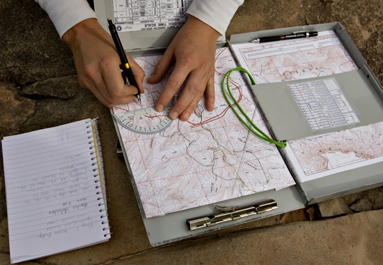
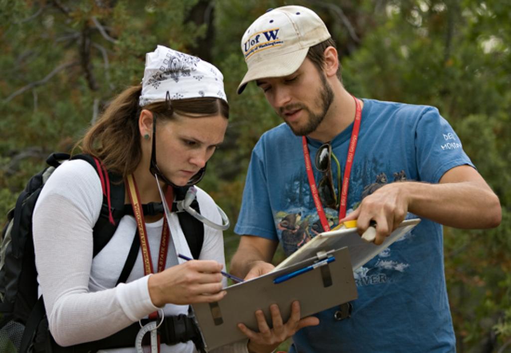
Leah Pettis records data on her map during the Field Geology Camp, held outside of Payson, Ariz., in June. The camp has been offered for over 30 years.
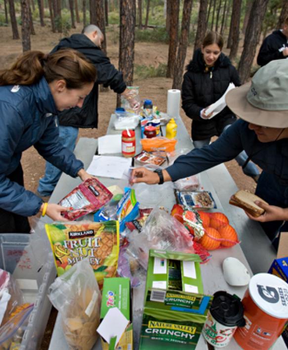
At the Ponderosa Camp Ground, on the Tonto National Forest, their home for the duration of the camp, participants pack their lunch before heading out to work on their assignments. Up until 2008, the participants were housed at ASU’s Camp Tontozona.

Leah Pettis, a junior geology major, gets help with mapping from Scott Robinson, a Ph.D. student and graduate assistant at the camp. There are two scholarships offered for the camp – the Ravi DeFilippo Field Camp Scholarship, in memory of a recent alum who died in a mining accident last summer, and the Robert Dietz Field Camp Scholarship, named after a former professor in geology at ASU. This year, Michelle Aigner was the DeFilippo scholar and Michael Mounce was the Dietz Scholar.
Amy Willits, a senior geology major, uses her surveying compass to measure the orientation of a sedimentary bed – a measurement known to geologists as a dip and strike.
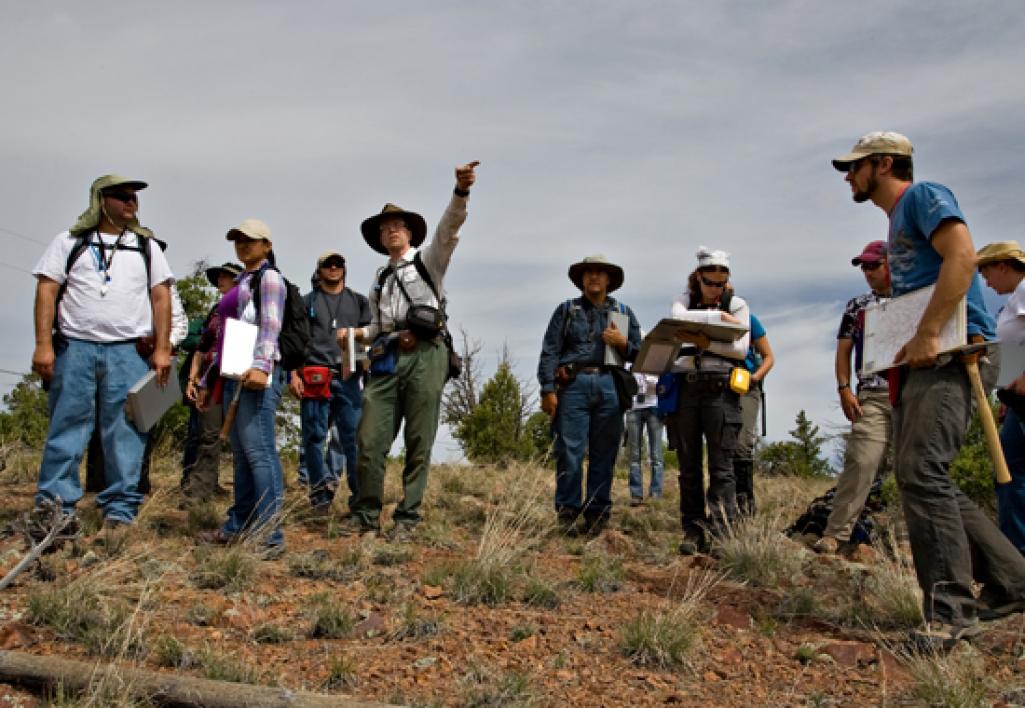
Professor Tom Sharp points out landmarks to students during the annual summer geology field camp, held outside of Payson, Arizona. The students spend three weeks in a hands-on environment learning fieldwork techniques.
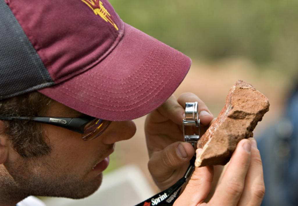
Ph.D. student and teaching assistant Brett Carr examines the fresh broken surface of a rock using a hand lens. These observations provide detailed information about the mineralogy and texture of rocks.
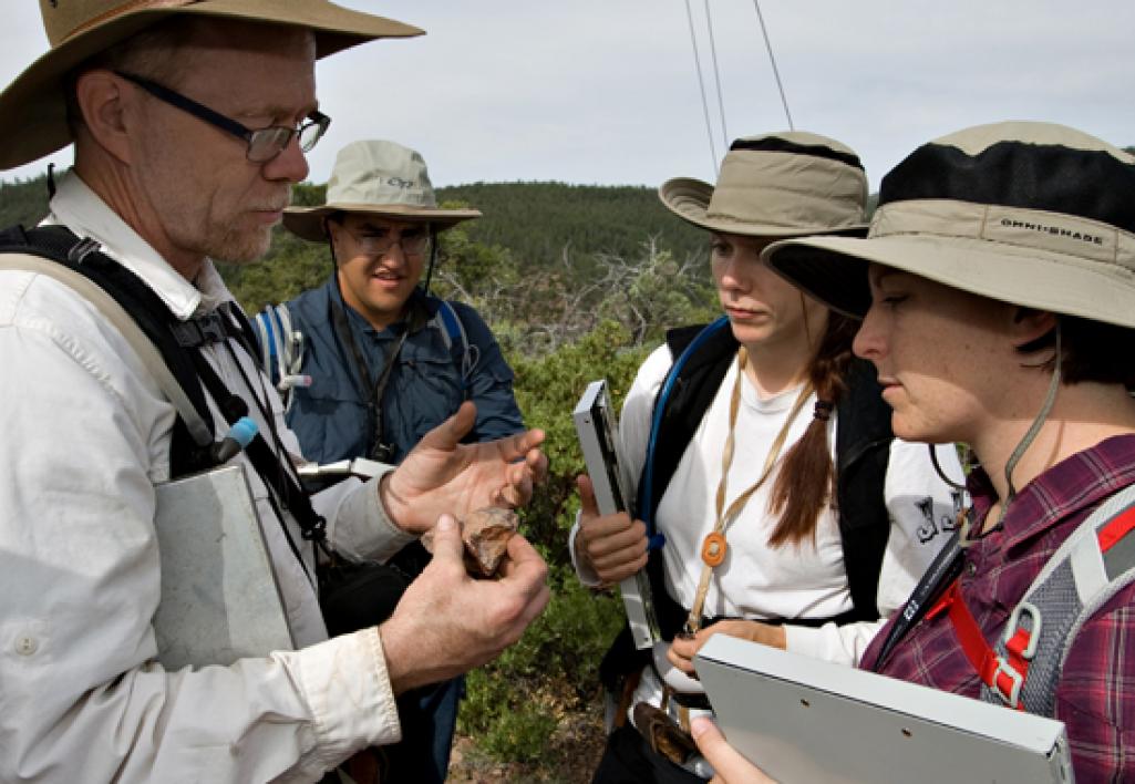
Professor Tom Sharp explains the deductive process used to identify a rock sample – in this case, a piece of haigler meta rhyolite – to Marko Manojovic (center left), Michelle Aigner and Devon Baumback (right).
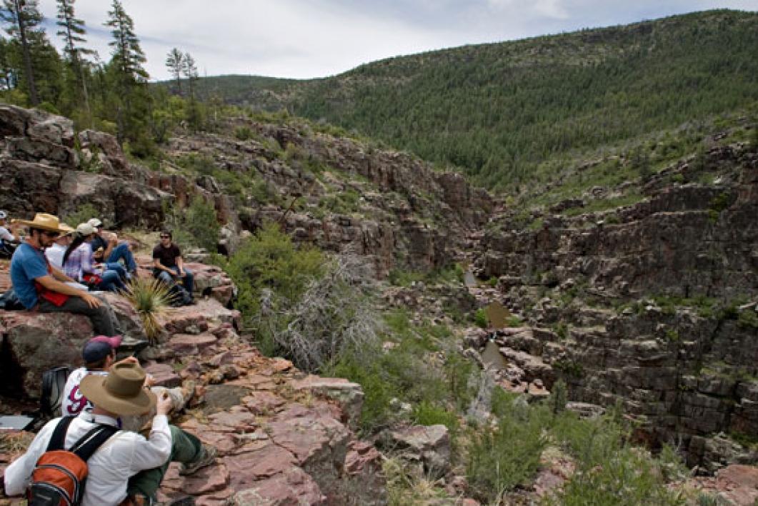
Sitting on the edge of the Box Canyon, professor Tom Sharp and the class eat lunch while examining the 1.7 billion-year-old mazatzal quartzite, into which the canyon is carved. For more information on the geology program, visit http://sese.asu.edu.