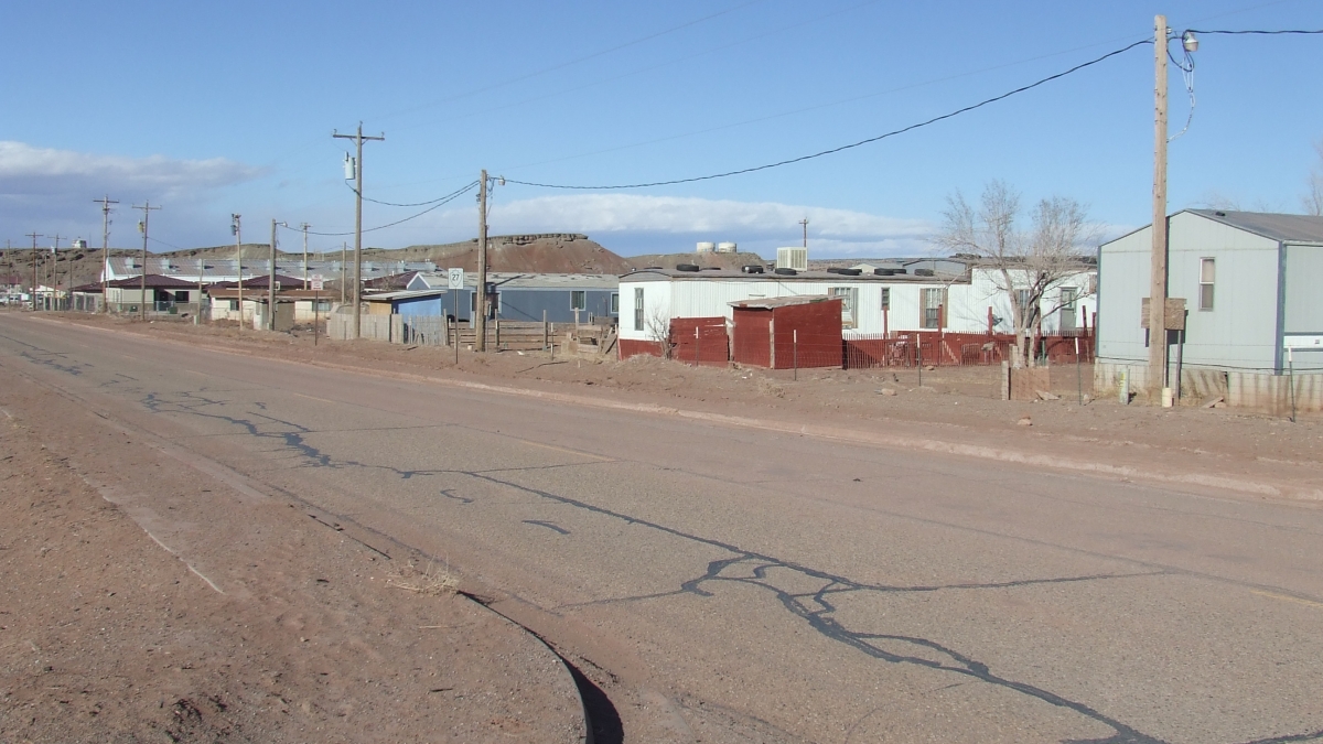
ASU faculty, students assess Navajo Nation land use planning

Nearly one year ago, approximately 20 residents of the Navajo Nation’s Black Mesa Chapter gathered at their chapter house with community leaders and a small group of Arizona State University faculty and students. Some of the residents had traveled long distances to participate.
“The roads are our main concern,” said one elderly woman.
“Eighty to 90 percent of our homes need repair,” expressed another community member.
As they spoke, an ASU student, herself a member of the Navajo Nation, took notes on large pads of paper. Later, the student transcribed the discussion into the Navajo language, so it could be read by all members of the community.
This was a “visioning session” – one element of a 2-year collaborative project between the Navajo Nation’s central government and ASU’s School of Geographical Sciences and Urban Planning.
ASU-Navajo Nation collaboration
In 1998, the Navajo government passed the Local Governance Act, a piece of legislation that for the first time gave significant governing authority to the nation’s local jurisdictions, called chapters.
A key provision of the act was to allow the chapters to administer and manage the lands within their jurisdictions, and produce community land use plans. This was an innovation – a first effort among U.S. Native governments to decentralize their planning efforts while still linking planning to the central tribal government.
In 2012, ASU’s School of Geographical Sciences and Urban Planning received a contract to evaluate this new planning approach, and after two years of work a final report was distributed in December 2014.
“This was the first effort to systematically assess land use planning in the Navajo Nation,” explained David Pijawka, professor of planning and principal investigator for the ASU project. “An important aspect of the project was to bring Navajo students into the planning process."
Pijawka's research team consisted of six Navajo students, along with one non-Navajo graduate student.
To date, 97 of the nation’s 110 chapters have developed “Community Based Land Use Plans” that have been approved by the Navajo central government. Pijawka’s team was charged with evaluating the existing plans and the process used to develop them and, especially critical, to consider whether the plans have been effective in improving conditions for Navajo communities.
The 1998 legislation mandates that each chapter update its land use plans every 5 years, involving the local community in the process. A key goal for the ASU study was to identify existing problems and barriers to effective planning to facilitate improvements as updates are initiated.
The evaluation
The ASU team took a multifaceted approach to evaluating the chapter land use plans. They obtained and analyzed land use and development plans from non-Navajo American Indian communities across the country. They conducted an in-depth review of 22 of the 97 approved plans, including samples of very rural and more urban chapters.
During the period of the study, two chapters were in the process of organizing to update their land use plans – Chinle and Black Mesa. The study team worked closely with each of the two chapters’ leadership as they developed planning elements for the updates. As well as adding input into the process, the experience helped the team learn about challenges faced.
In addition, the team conducted focus groups with officials and staff from 10 chapters and all five of the Navajo nation’s agencies (regional groupings of chapters). Finally, they conducted in-depth interviews with governmental officials from chapters and governmental departments to learn about planning processes and planning needs.
Recommendations
Based on what they learned from the national analysis, plan review, pilot studies with Chinle and Black Mesa, focus groups and interviews, the team made several key recommendations. They proposed strategies for educating chapter community members about the planning process and for developing visioning and community engagement opportunities like the session at Black Mesa. They recommended several types of visioning approaches.
In addition, the team felt that the mapping capabilities of GIS – geographic information systems – offer valuable tools for both local and national planning. Many of the current chapter land use plans identify the importance of environmental and cultural resources. GIS can be used to inventory these resources and integrate them into community plans. GIS technology can also help with identifying suitable locations for development and protection.
Next steps
With the report just delivered to Navajo Nation officials, a proposal is already in the works for a follow-up project. The officials have requested that ASU planners develop a short, concise handbook that will provide a guide that chapters can use as they begin their community land use plan updates.
In addition, the central government has moved ahead to improve expertise in planning by hiring 16 planners who will be stationed at administrative support centers throughout the nation.
The enthusiasm for ASU’s work may be best illustrated by a comment made at one of the visioning sessions by an elderly resident: “Thank you for bringing our children back home to improve our lives.”
Note: Report co-authors were James Gardner, who completed a master’s degree in urban and environmental planning; professor David Pijawka; and Eric Trevan, a doctoral student in community resources and development. Five other ASU students participated in the project: Shaina Begay and Seneca House, who have now completed bachelors’ degrees in urban and environmental planning; Monique Reveles, an undergraduate in the School of Sustainability; Alesha Sloan, who completed a bachelor’s degree and in urban and environmental planning and is in her final semester of a master’s degree in the same field; and Chandler Willie, a designer and graduate student in the Herberger Institute.
The School of Geographical Sciences & Urban Planning is an academic unit of the College of Liberal Arts & Sciences.